Industries
Shpërndarja e bizneseve sipas industrisë në Dor
| Përshkrimi i industrisë | Numri i ndërmarrjeve |
|---|---|
| Strehim Tjera | 9 |
Faktet për Dor
| zonë | 0.8 km² |
| Popullsia | 371 |
| Popullsia mashkullore | 191 (51.4%) |
| Popullsia femra | 180 (48.6%) |
| Ndryshimi i popullsisë (1975 to 2020) | +271.0% |
| Ndryshimi i popullsisë (2000 to 2020) | +57.9% |
| Mosha mesatare | 27.6 vjet (Mashkull: 27.2, Femër: 28) |
| Prefikset Telefon | 4 |
| Ora lokale | |
| Zona e orës | Ora verore e Izraelit |
| Gjer. dhe gjat. | 32.60751, 34.92330 |
| Kodet Postare | 30820 |
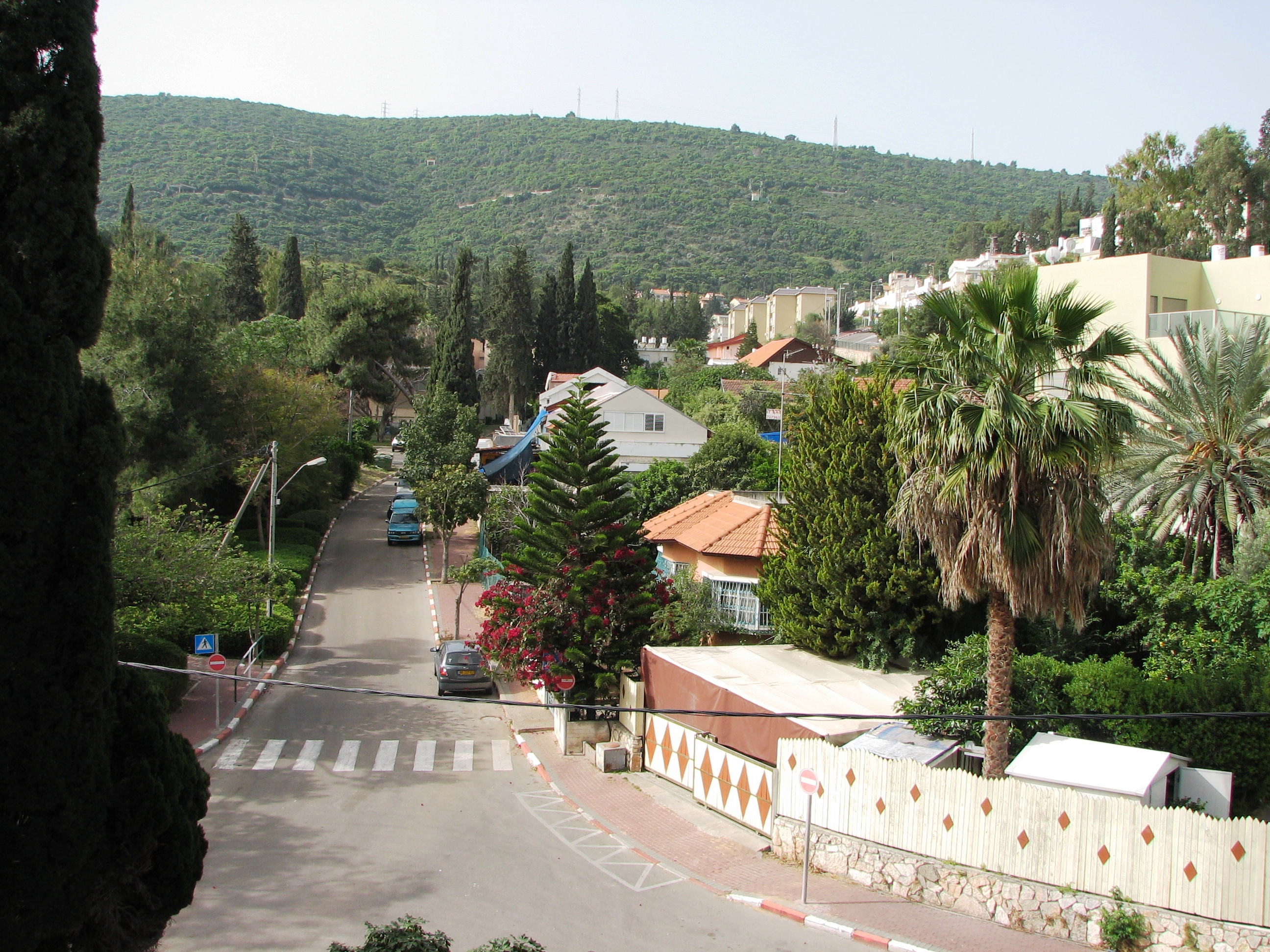
Harta e Dor
Harta interaktive
Popullsia e Dor
Vitet 1975 në 2020
| Data | 1975 | 1990 | 2000 | 2015 | 2020 |
|---|---|---|---|---|---|
| Popullsia | 100 | 144 | 235 | 337 | 371 |
| Dendësia e popullsisë | 123,1 / km² | 177,2 / km² | 289,2 / km² | 414,8 / km² | 456,6 / km² |
Ndryshimi i popullsisë së Dor nga 2000 në 2015
Rritje prej 43.4% nga viti 2000 në 2015
| Vendndodhja | Ndryshimi nga 1975 | Ndryshimi nga 1990 | Ndryshimi nga 2000 |
|---|---|---|---|
| Dor | +237% | +134% | +43.4% |
| Haifa | +73.2% | +47.5% | +19.9% |
| Izraeli | +141.5% | +78.8% | +33.8% |
Mosha mediane e Dor
Mosha mediane: 27.6 vjet
| Vendndodhja | Mosha mesatare | Mosha Mediane (Femër) | Mosha mesatare (Mashkull) |
|---|---|---|---|
| Dor | 27.6 yrs | 28 yrs | 27.2 yrs |
| Haifa | 32.3 yrs | 33.9 yrs | 30.7 yrs |
| Izraeli | 29.5 yrs | 30.6 yrs | 28.5 yrs |
Dendësia e popullsisë së Dor
Dendësia e popullsisë: 457 / km²
| Vendndodhja | Popullsia | zonë | Dendësia |
|---|---|---|---|
| Dor | 371 | 0,813 km² | 457 / km² |
| Haifa | 942 781 | 865,4 km² | 1089 / km² |
| Izraeli | 8,3 million | 22 078 km² | 374 / km² |
Popullsia historike dhe e projektuar e Dor
Popullsia e vlerësuar nga 0 në 2100
- JRC (European Commission's Joint Research Centre) puna mbi GHS built-up grid
- CIESIN (Center for International Earth Science Information Network)
- [lidhje] Klein Goldewijk, K., Beusen, A., Doelman, J., and Stehfest, E.: Anthropogenic land use estimates for the Holocene – HYDE 3.2, Earth Syst. Sci. Data, 9, 927–953, https://doi.org/10.5194/essd-9-927-2017, 2017.
Prefikset Telefon
Kodet e zonave të përqindjes që përdoren nga bizneset në Dor
Shpërndarja e çmimeve
Shpërndarja e biznesit sipas çmimit për Dor
Indeksi i Zhvillimit Njerëzor (HDI)
Indeksi i përbërë statistikor i jetëgjatësisë, arsimimit dhe të ardhurave për frymë.
Emetimet e CO2 të Dor
Emisionet e dioksidit të karbonit (CO2) për frymë në ton në vit
| Vendndodhja | Emetimet e CO2 | Emetimet e CO2 për frymë | Intensiteti i emetimeve të CO2 |
|---|---|---|---|
| Dor | 4,105 tn | 11.07 tn | 5,052.8 tons/km² |
| Haifa | 10,045,714 tn | 10.66 tn | 11,608.3 tons/km² |
| Izraeli | 81,985,471 tn | 9.92 tn | 3,713.4 tons/km² |
| Emetimet e CO2 për 2013 (tonë/vit) | 4,105 tn |
| Emetimet e CO2 për 2013 (tonë/vit) për frymë | 11.07 tn |
| Intensiteti i emetimeve të CO2 për 2013 (tonë/km²/vit) | 5,052.8 tons/km² |
Rreziku natyror i rreziqeve
Relative risk out of 10
| Rrezik | Risk Level |
|---|---|
| Drought | Low (2) |
| Flood | Medium (4) |
| Earthquake | Medium (7) |
* Risk, particularly concerning flood or landslide, may not be for the entire area.
- Dilley, M., R.S. Chen, U. Deichmann, A.L. Lerner-Lam, M. Arnold, J. Agwe, P. Buys, O. Kjekstad, B. Lyon, and G. Yetman. 2005. Natural Disaster Hotspots: A Global Risk Analysis. Washington, D.C.: World Bank. https://doi.org/10.1596/0-8213-5930-4.
- Center for Hazards and Risk Research - CHRR - Columbia University, Center for International Earth Science Information Network - CIESIN - Columbia University, and International Research Institute for Climate and Society - IRI - Columbia University. 2005. Global Drought Hazard Frequency and Distribution. Palisades, NY: NASA Socioeconomic Data and Applications Center (SEDAC). https://doi.org/10.7927/H4VX0DFT.
- Center for Hazards and Risk Research - CHRR - Columbia University, Center for International Earth Science Information Network - CIESIN - Columbia University. 2005. Global Flood Hazard Frequency and Distribution. Palisades, NY: NASA Socioeconomic Data and Applications Center (SEDAC). https://doi.org/10.7927/H4668B3D.
- Center for Hazards and Risk Research - CHRR - Columbia University, Center for International Earth Science Information Network - CIESIN - Columbia University. 2005. Global Earthquake Hazard Distribution - Peak Ground Acceleration. Palisades, NY: NASA Socioeconomic Data and Applications Center (SEDAC). https://doi.org/10.7927/H4BZ63ZS.
Tërmetet e fundit pranë
Madhësia 3.0 dhe më e madhe
| Data▼ | Ora↕ | Magnitude↕ | Distance↕ | Thellesi↕ | Vendndodhja↕ | lidhje |
|---|---|---|---|---|---|---|
| 7/4/18 | 7:45 PM | 4.7 | 53.1 km | 10,000 m | 5km SE of 'Eilabun, Israel | usgs.gov |
| 7/4/18 | 1:50 AM | 4 | 52 km | 10,000 m | 6km SSE of 'Eilabun, Israel | usgs.gov |
| 10/20/13 | 12:54 PM | 3.5 | 66.7 km | 5,000 m | 8km NNE of Tiberias, Israel | usgs.gov |
| 8/7/11 | 8:52 AM | 4.1 | 42.8 km | 31,000 m | Dead Sea region | usgs.gov |
| 7/10/09 | 6:19 PM | 4 | 87 km | 10,000 m | Lebanon - Syria region | usgs.gov |
| 8/13/08 | 6:05 AM | 3.2 | 60.2 km | 10,000 m | eastern Mediterranean Sea | usgs.gov |
| 6/23/08 | 3:45 PM | 3 | 89.3 km | 1,000 m | Lebanon - Syria region | usgs.gov |
| 6/13/08 | 5:28 AM | 4 | 93.1 km | 1,000 m | Lebanon - Syria region | usgs.gov |
| 6/12/08 | 4:40 PM | 4 | 93.8 km | 5,400 m | Lebanon - Syria region | usgs.gov |
| 6/12/08 | 3:43 PM | 3.9 | 89.5 km | 4,300 m | Lebanon - Syria region | usgs.gov |


Rreth të dhënave tona
Të dhënat në këtë faqe janë vlerësuar duke përdorur një numër veglash dhe burimesh të disponueshme publike. Ofrohen pa garanci dhe mund të përmbajnë pasaktësi. Përdorni në rrezikun tuaj.