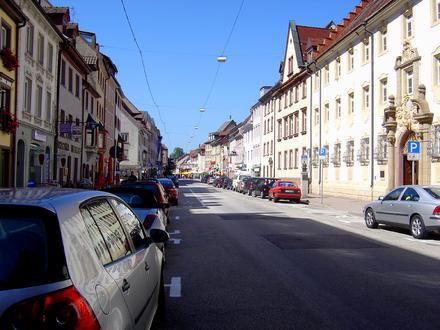
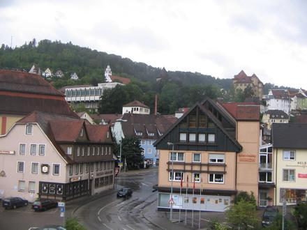
Biznese në Dietingen
Hotele & Udhëtime
Restorantet
Automobilistik
Shërbime Financiare
Mjekësi
Bukuri & Qendra Estetike
Komuniteti & Qeveria
Industries
Shpërndarja e biznesit sipas industrisë industri: 18,1%
Shёrbimet profesionale: 13,4%
Shërbime Shtëpie: 12,3%
Pazar: 11,8%
Automobilistik: 5,7%
Mjekësi: 5%
Tjetër: 33,7%
| Zona e Dietingen, Baden-Vyrtemberg | 0,5 km² |
| Popullsia | 726 |
| Ndryshimi i popullsisë nga 1975 në 2015 | -27,3% |
| Ndryshimi i popullsisë nga 2000 në 2015 | -17,4% |
| Prefikset Telefon | 7404, 741, 7427, 7428 |
| Lagjet | Böhringen, Irslingen |
| Ora lokale | e diel 5:34 p.d. |
| Zona e orës | Ora verore e Evropës Qendrore |
| Gjer. dhe gjat. | 48.2048° / 8.64864° |
| Kodet Postare | 78661 |
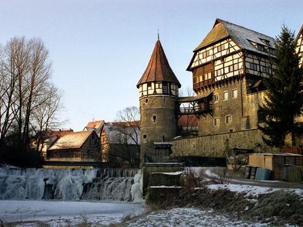
Dietingen, Baden-Vyrtemberg - Harta
Dietingen, Baden-Vyrtemberg Popullsia
Vite 1975 deri 2015| të dhëna | 1975 | 1990 | 2000 | 2015 |
|---|---|---|---|---|
| Popullsia | 998 | 839 | 879 | 726 |
| Dendësia e popullsisë | 1996 / km² | 1678 / km² | 1758 / km² | 1452 / km² |
Dietingen Ndryshimi i popullsisë nga 2000 në 2015
Ulja e 17,4% nga viti 2000 në 2015| Vendndodhja | Ndryshimi që nga 1975 | Ndryshimi që nga 1990 | Ndryshimi që nga 2000 |
|---|---|---|---|
| Dietingen, Baden-Vyrtemberg | -27,3% | -13,5% | -17,4% |
| Baden-Vyrtemberg | +10,4% | +6,4% | +0,8% |
| Gjermania | +2,6% | +2,2% | -1,5% |
Dietingen, Baden-Vyrtemberg Dendësia e popullsisë
Dendësia e popullsisë: 1452 / km²| Vendndodhja | Popullsia | zonë | Dendësia e popullsisë |
|---|---|---|---|
| Dietingen, Baden-Vyrtemberg | 726 | 0,5 km² | 1452 / km² |
| Baden-Vyrtemberg | 10,6 milionë | 35 793,9 km² | 296,7 / km² |
| Gjermania | 80,7 milionë | 358 179,8 km² | 225,2 / km² |
Dietingen, Baden-Vyrtemberg Popullsia e parashikuar
Popullsia e vlerësuar nga 1975 deri në 2100Sources:
1. JRC (European Commission's Joint Research Centre) work on the GHS built-up grid
2. CIESIN (Center for International Earth Science Information Network)
3. [lidhje] Klein Goldewijk, K., Beusen, A., Doelman, J., and Stehfest, E.: Anthropogenic land use estimates for the Holocene – HYDE 3.2, Earth Syst. Sci. Data, 9, 927–953, https://doi.org/10.5194/essd-9-927-2017, 2017.
Lagjet
Shpërndarja e biznesit sipas lagjes në Dietingen Irslingen: 47,1%
Böhringen: 45,9%
Tjetër: 7,1%
Kodet e zonёs
Kodet e zonave të përqindjes që përdoren nga bizneset në Dietingen Prefiksi Telefon 741: 43,7%
Prefiksi Telefon 7404: 39,1%
Prefiksi Telefon 7428: 5,7%
Tjetër: 11,5%
Indeksi i Zhvillimit Njerëzor (HDI)
Indeksi i përbërë statistikor i jetëgjatësisë, arsimimit dhe të ardhurave për frymë.Sources: [Link] Kummu, M., Taka, M. & Guillaume, J. Gridded global datasets for Gross Domestic Product and Human Development Index over 1990–2015. Sci Data 5, 180004 (2018) doi:10.1038/sdata.2018.4
Emetimet e CO2 Dietingen, Baden-Vyrtemberg
Emisionet e dioksidit të karbonit (CO2) për frymë në ton në vit| Vendndodhja | Emetimet e CO2 | Emetimet e CO2 për frymë | Intensiteti i emetimeve të CO2 |
|---|---|---|---|
| Dietingen, Baden-Vyrtemberg | 6 901 tn | 9,51 tn | 13 803 tn/km² |
| Baden-Vyrtemberg | 100 584 924 tn | 9,47 tn | 2 810 tn/km² |
| Gjermania | 755 339 039 tn | 9,36 tn | 2 108 tn/km² |
Emetimet e CO2 Dietingen, Baden-Vyrtemberg
| Emetimet e CO2 2013 (ton / vit) | 6 901 tn |
| Emetimet e CO2 2013 (ton / vit) për frymë | 9,51 tn |
| Intensiteti i emetimeve të CO2 2013 (ton / km² / vit) | 13 803 tn/km² |
Rreziku natyror i rreziqeve
Rreziku relativ nga 10| përmbytje | Lartë (10) |
| Tërmet | E mesme (4) |
* Rreziku, veçanërisht në lidhje me përmbytjen ose rrëshqitjen e tokës, mund të mos jetë për të gjithë zonën.
Sources: 1. Dilley, M., R.S. Chen, U. Deichmann, A.L. Lerner-Lam, M. Arnold, J. Agwe, P. Buys, O. Kjekstad, B. Lyon, and G. Yetman. 2005. Natural Disaster Hotspots: A Global Risk Analysis. Washington, D.C.: World Bank. https://doi.org/10.1596/0-8213-5930-4.
2. Center for Hazards and Risk Research - CHRR - Columbia University, Center for International Earth Science Information Network - CIESIN - Columbia University. 2005. Global Flood Hazard Frequency and Distribution. Palisades, NY: NASA Socioeconomic Data and Applications Center (SEDAC). https://doi.org/10.7927/H4668B3D.
3. Center for Hazards and Risk Research - CHRR - Columbia University, Center for International Earth Science Information Network - CIESIN - Columbia University. 2005. Global Earthquake Hazard Distribution - Peak Ground Acceleration. Palisades, NY: NASA Socioeconomic Data and Applications Center (SEDAC). https://doi.org/10.7927/H4BZ63ZS.
Tërmetet e fundit pranë
Madhësia 3.0 dhe më e madhe| Data | Ora | madhësi | Distanca | Thellesi | Vendndodhja | lidhje |
|---|---|---|---|---|---|---|
| 16.8.07 | 2:36 p.d. | 3,4 | 24,9 km | 6 000 m | Germany | usgs.gov |
| 13.9.05 | 11:54 p.d. | 3,1 | 30,7 km | 9 000 m | Germany | usgs.gov |
| 4.12.04 | 8:10 m.d. | 3,1 | 40,5 km | 10 000 m | Germany | usgs.gov |
| 23.11.04 | 9:41 p.d. | 3,7 | 47,4 km | 10 000 m | Germany | usgs.gov |
| 8.11.04 | 3:52 p.d. | 3,3 | 57,2 km | 24 000 m | Switzerland | usgs.gov |
| 21.6.04 | 6:49 m.d. | 3,2 | 54,8 km | 8 500 m | Germany | usgs.gov |
| 7.4.04 | 8:09 m.d. | 3,2 | 33,2 km | 8 000 m | Germany | usgs.gov |
| 11.4.03 | 9:04 p.d. | 3,4 | 26,2 km | 7 000 m | Germany | usgs.gov |
| 22.3.03 | 5:36 p.d. | 4,7 | 26,1 km | 6 000 m | Germany | usgs.gov |
| 17.5.02 | 12:19 p.d. | 3,1 | 57,2 km | 27 000 m | Switzerland | usgs.gov |
Gjeni dukuritë historike të tërmetit afër Dietingen, Baden-Vyrtemberg
Data e hershme Data e fundit
Madhësia 3.0 dhe më e madhe Magnituda 4.0 dhe më e madhe Madhësia 5.0 dhe më e madhe

Rreth të dhënave tona
Të dhënat në këtë faqe vlerësohen duke përdorur një numër mjetesh dhe burimesh në dispozicion të publikut. Ofrohet pa garanci dhe mund të përmbajë pasaktësi. Përdorni me rrezikun tuaj. Shikoni këtu për më shumë informacion.